Clipping vector data in ArcGIS Pro
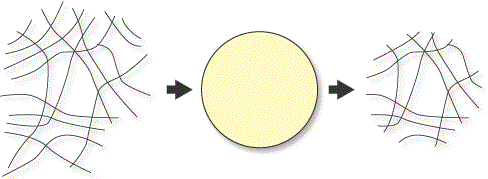
You may be working with a spatial vector layer that is much more geographically expansive than your study area. In this case, you can clip the layer to your area of interest.
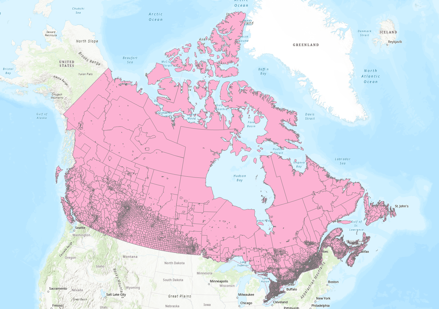
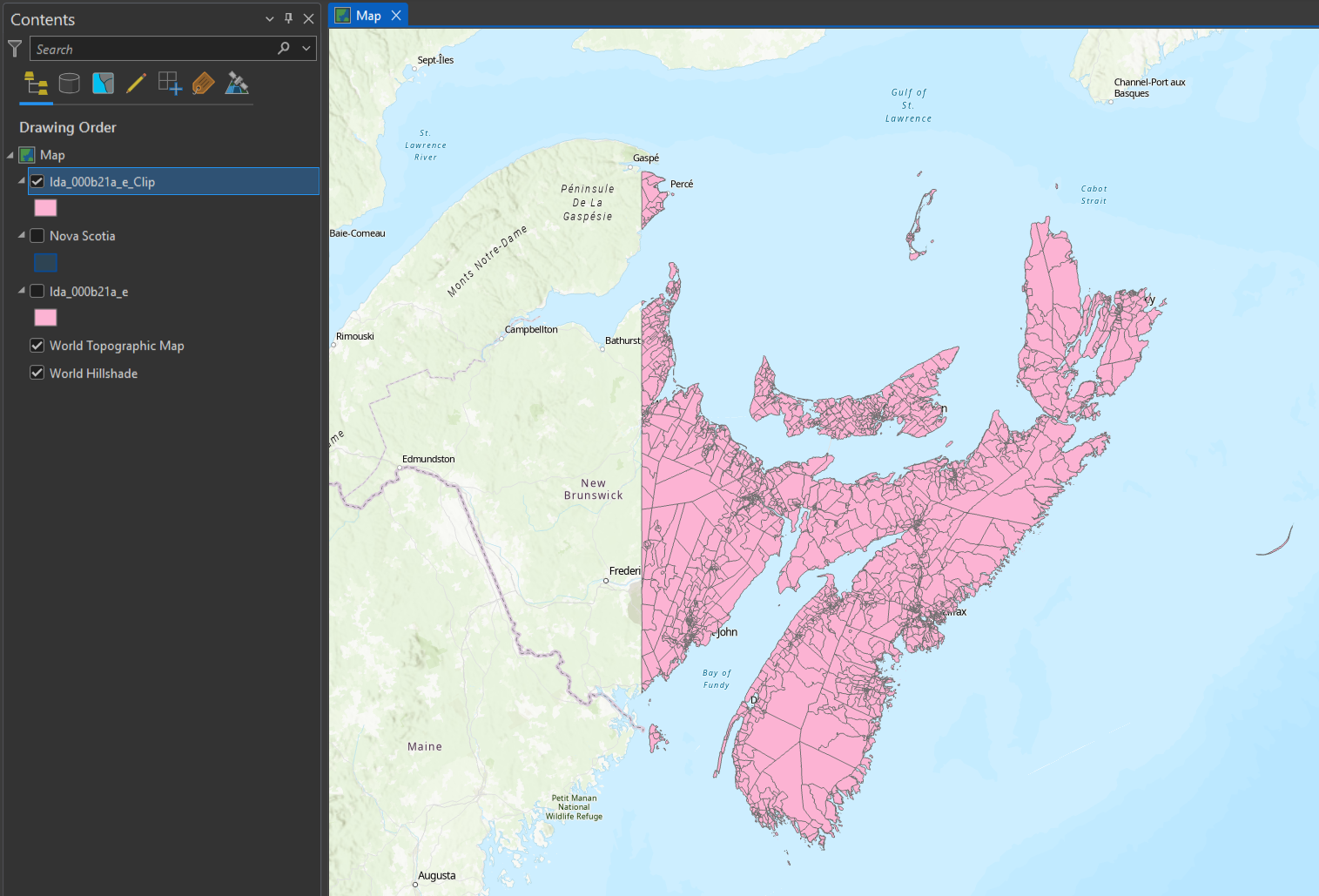
Example: This Statistics Canada layer (downloaded from this page), displays all census dissemination areas within Canada. If your study area is in Eastern Canada, you may wish to clip out a smaller portion of this layer to work with.
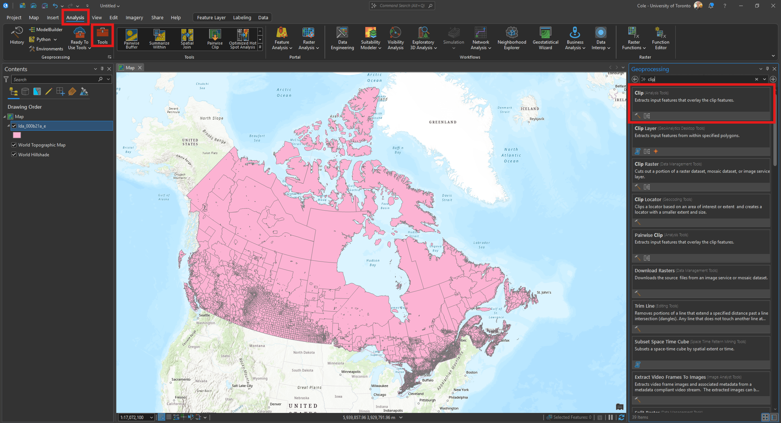
• Load your large data layer into ArcGIS Pro. Open the geoprocessing toolbox and search for Clip.
• Specify the layer to be clipped as the Input features. For the Clip features parameter, you can either specify an existing layer that will act as a ‘cookie cutter’ on your input layer, or click the pencil icon to define a clip area.
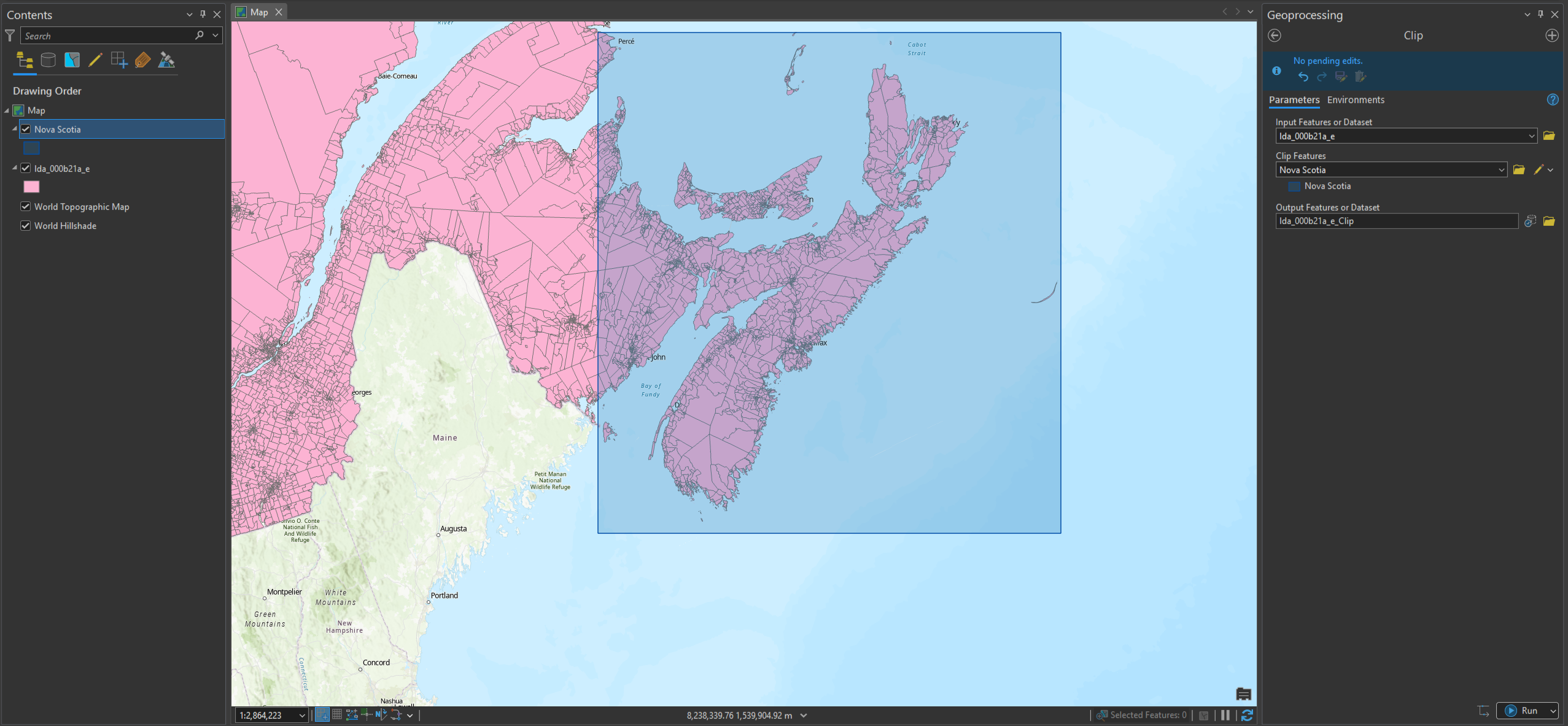
• Click Run. The tool will output a new, clipped layer.
See also:
• Clipping rasters in ArcGIS Pro
• Extracting the geographic features you need from a larger dataset in ArcGIS Pro
Technique: Extracting data | Tools: ArcGIS Pro | Data Format: Vector