Navigating the QGIS Interface (and a quick look at projections)
Panning and zooming
Use the Pan tool to shift the map extent (alternatively, click and hold the middle mouse button or press the Spacebar). 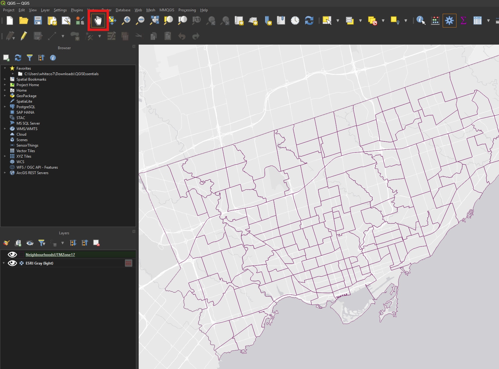
Use the Zoom tools or the mouse wheel to zoom in and out on the map view. 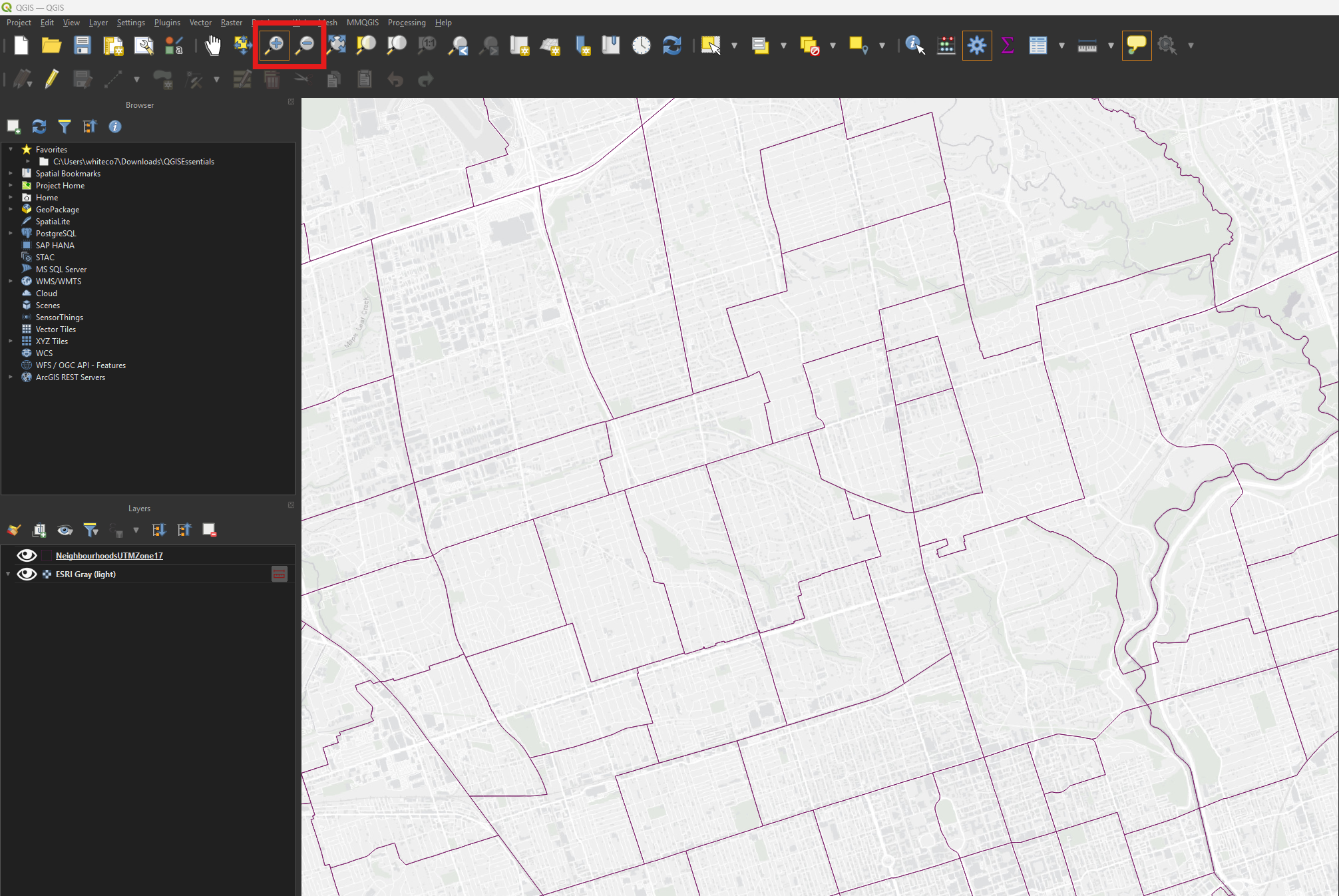
The map scale, found in the status bar on the bottom of the interface, can also be adjusted to zoom in or out. 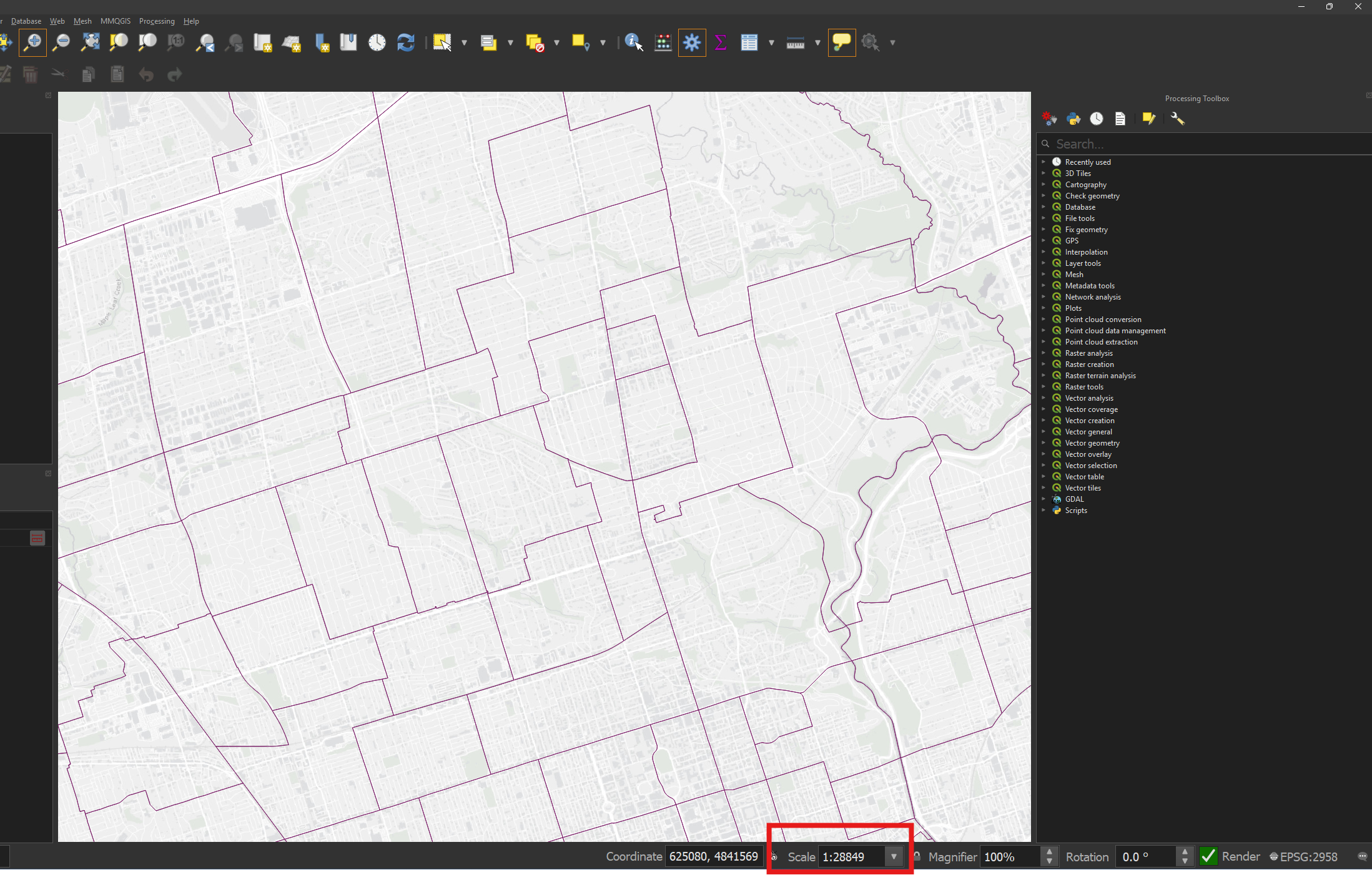
Bookmarks
Bookmarks let us save map locations and scales.
Go to View → Show Spatial Bookmarks. 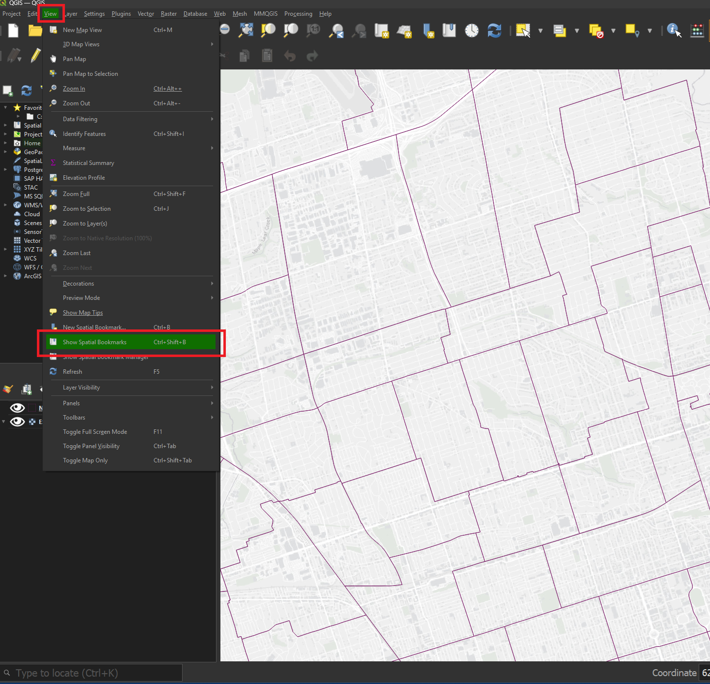
Expand the Project Bookmarks heading. 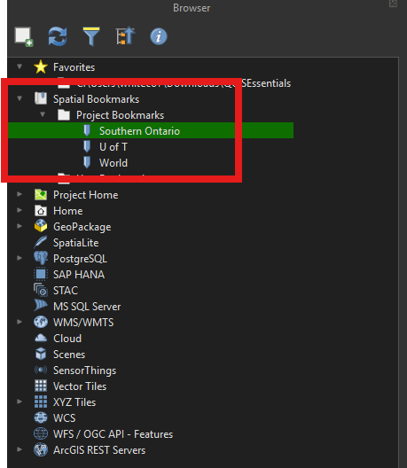
Double-click the Southern Ontario bookmark. The map view will be automatically updated to a pre-configured scale and extent. 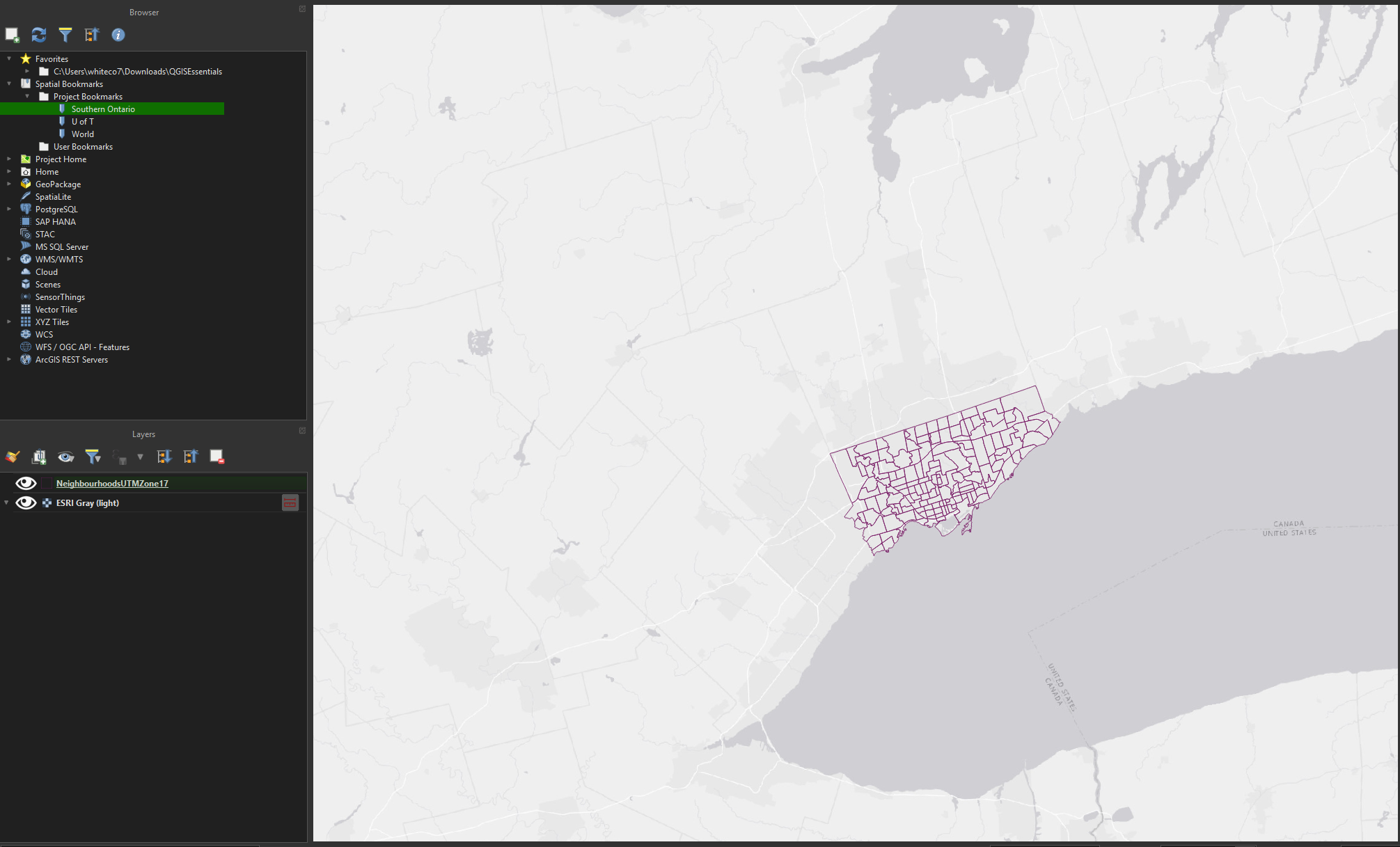
Double-click the World bookmark. Once it loads (it may take a moment), the map view will be adjusted to show the entire world. At this scale, the map looks quite distorted - this isn’t a bug, it’s because the QGIS project is using a projection that’s well-suited for displaying the Toronto area, but not intended for a global extent. 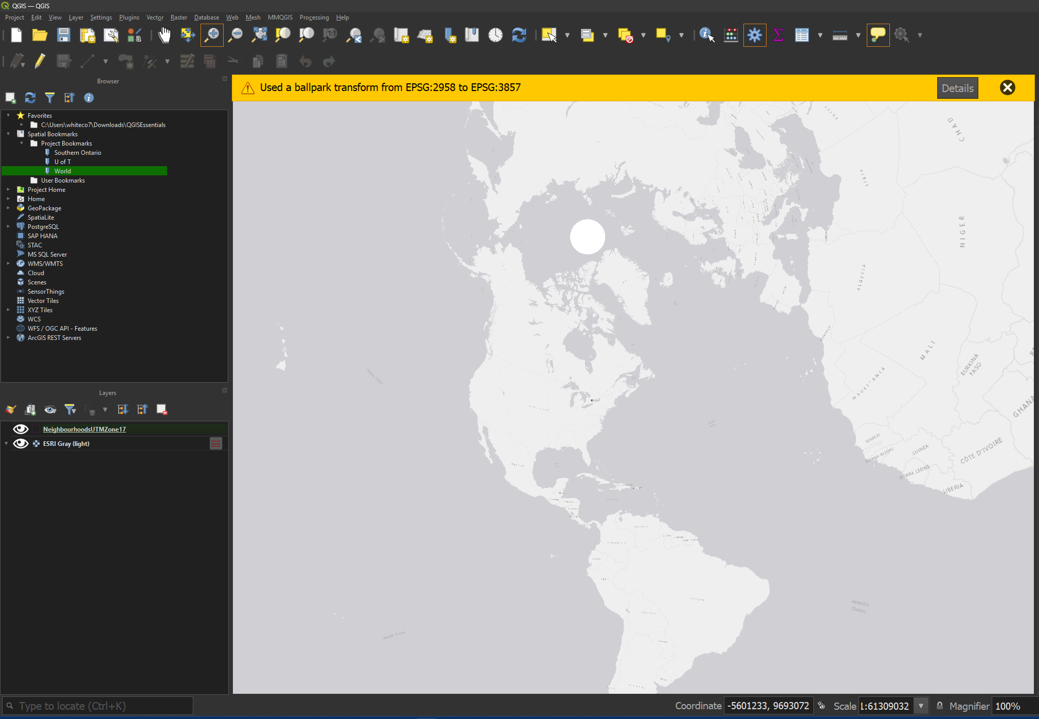
Projection/Coordinate Reference System Settings
A project’s projection/coordinate system is indicated by the EPSG number on the status bar. Click the ‘EPSG:2958’ text in the lower-right of the interface to see the coordinate system settings. 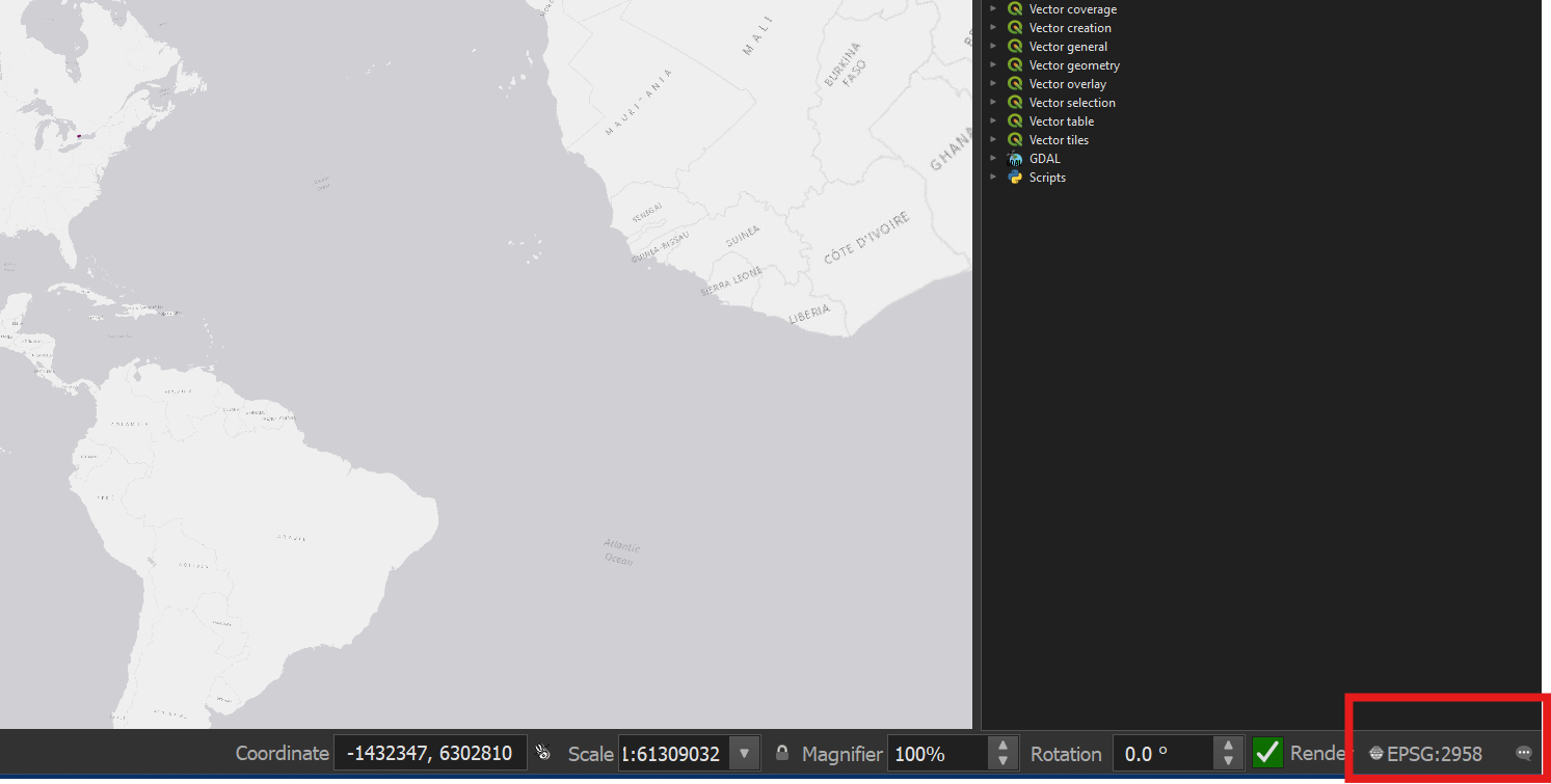
Type 4326 in the search bar (don’t press enter). Select WGS84 from the results. Click OK. 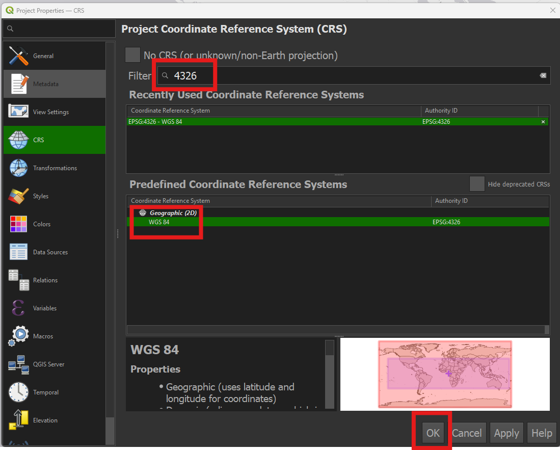
Result:
Now click the coordinate system text again and change the projection back to UTM Zone 17 (EPSG: 2958). 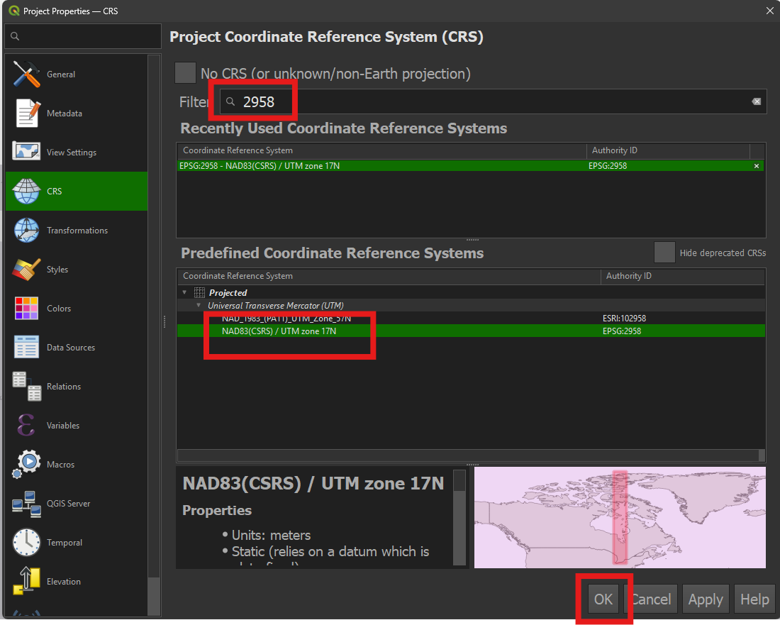
If you’d like to learn more about coordinate reference systems in GIS,