Exploring map layers
This project contains a basemap (Esri Grey) and one polygon layer showing neighbourhood boundaries within Toronto.
Query a layer with the Identify Tool
• Left-click the NeighbourhoodsUTMZone17 item in the Layers panel to select it. 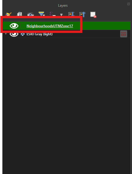
• Click the Identify Features button on the toolbar. 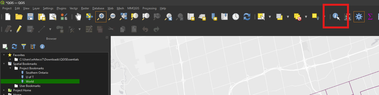
• Click within any neighbourhood polygon in the map view. The feature will be highlighted on the map and information about it will appear in a popup. 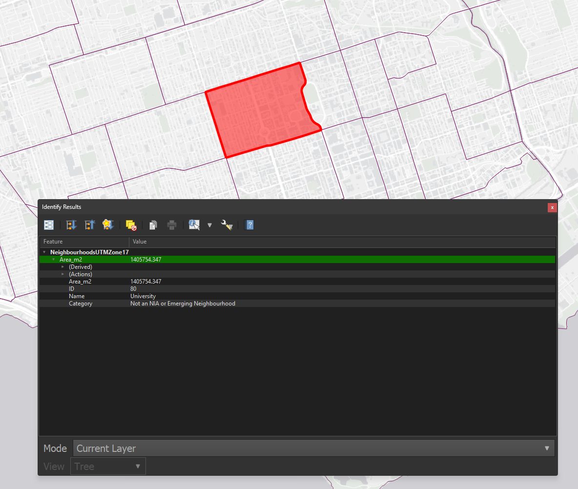
View a layer’s Attribute Table
• Right-click (or Control-click if using a Mac) the neighbourhoods layer. Choose Open Attribute Table from the menu. 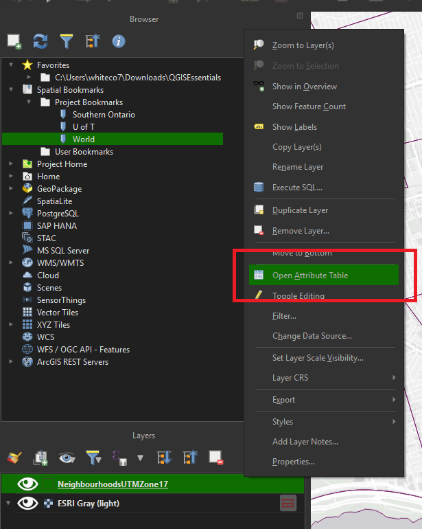
• Each polygon within the layer is displayed as a row in the attribute table. 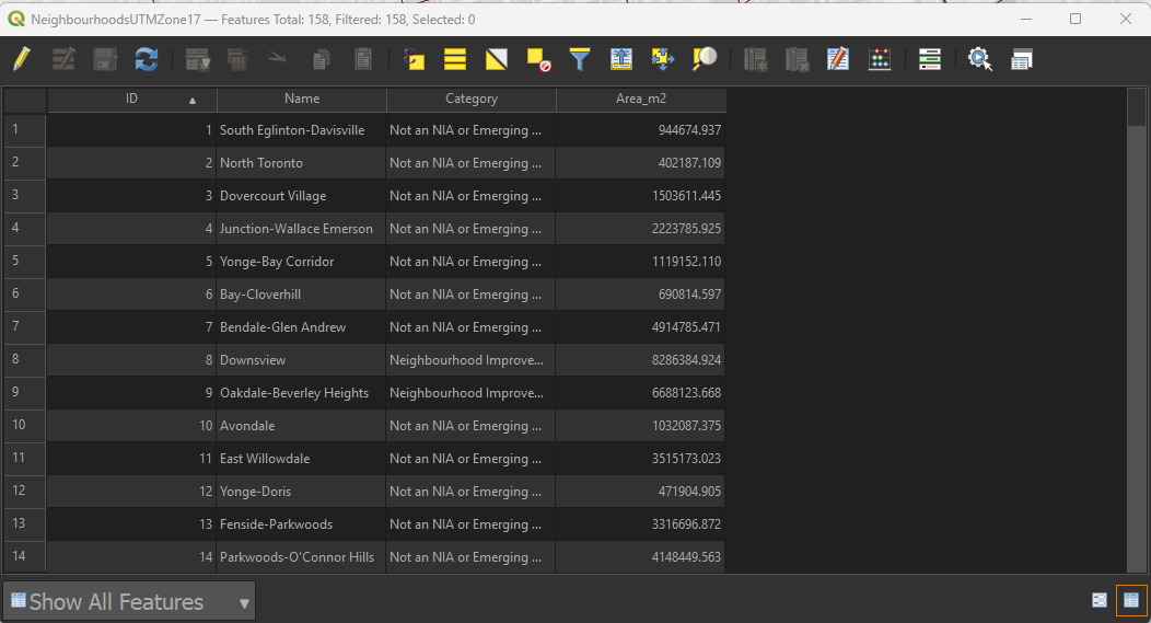
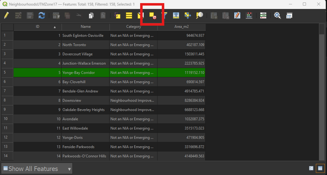
• Click the row number of any record to select it. The attribute table row and its corresponding map polygon will be highlighted. Click the Zoom button (at the top of the attribute table) to zoom to the selected feature. 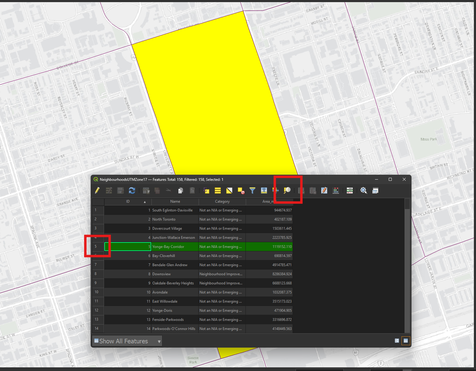
• Click the Deselect button to clear the selection.